Ma
On Shan (馬鞍山) is a saddle-like peak in the east of Tolo Harbour in the
New Territories of Hong Kong. The hill is on the border of Shatin, Taipo
and Sai Kung districts. It stood among the ten highest hills in Hong Kong.

This is our starting point, it is a bridge adjacent to Chevalier Garden, Ma On Shan.

The route is roughly U-shaped, with the highest point in the route at about 700 metres.

In the beginning, it is not very steepy.

The weather is fine, with blue sky and white cloud.

Before long, we know it is needed to have a non-stop up and down.

In
this part of the trail, it is quite similar to Sharp Peak (Nam She
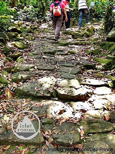
Tsim), always climb up and with loose rocks.

Without sun hat, an umbrella with anti-UV function is a must.

The trail ahead is clear and foreseeable.

This is Sai Kung town.

Continue to walk along the top of hills.

This is the Ma On of Ma On Shan (the Saddle of Saddle Hill).

This
photo is taken from the Saddle. We overlook Plover Cove Reservoir at the top and
Wu Kai Sha / Ma On Shan town at the bottom. Please note the colour difference between sea water and freshwater. Pak Sin Leng is on top left corner.

On the upper part, they are Ma Liu Shui and Tolo Highway.

Ma On Shan town

Shing Mun River and Shatin Racecourse

This is a funny bamboo trail.

We do not know the name of this plant. There is a cluster of such plant at the top of Ma On Shan, near the Saddle.
The shape is like a flower, with red sepal and green petal. It is
exactly opposite to what we learn before. Should anyone know the name of
this plant, please inform. Thanks a lot in advance.

After the saddle, we have to climb down, with the help of these ropes.
Without this pair of ropes, we still need to climb down, but it
should be quite dangerous and challenging.

It takes about half an hour to climb down and down.

Totally,
it takes about six hours for the whole route from Chevalier Garden to
Ma On Shan Country Park Barbecue Site. This should be a route
difficulty of five stars.