Plover Cove Reservoir, located within Plover Cove Country Park, in the northeastern New Territories of Hong Kong. It has about 24 hectares and is the largest reservoir in Hong Kong in terms of area, and the second-largest in terms of volume.

Today, our target is to walk around Plover Cove Reservoir in an anti-clockwise direction, from Tai Mei Tuk to Wu Kau Tang. It takes about six to seven hours, the total length is about 14 kilometers. Or, some hikers may take longer or shorter time. FYI, this route is 4 out of 5 difficult stars. The scenery is very natural and beautiful. But there is a small section which is very difficult and dangerous. Please also bear in mind, once you have started the journey, you have to finish the whole journey. Or, you have to reverse the exact route.
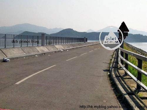
This is the main dam of Plover Cove Reservoir. The time is still early today, there are not too many cyclists.

From the main dam, we can see Pat Sin Leng. We also hope to have hiking at Pat Sin Leng one day.

This is the end of the main dam. Bicycle is not allowed. But it is heard that bicycle was allowed in the past.

We can see three service dams.

This is the dam to discharge surplus water, when needed.

You are clever enough to know which is the reservoir of fresh water.

It is the start to climb up a series of small hills.

To look back, we can see the service dams, Tolo Harbour and buildings at Ma On Shan.

This is a lovely inland bay - Lo Fu Wat. You may check the exact location in the map photo above.

The reservoir is not full in winter.

This is not a very popular hiking route. In autumn and winter, hiking on route without shelter of tree is still not too painstaking. Of course, it is suggested to have a pair of hiking shoes (and hiking stick), hat, hand glove, suitable clothes, sun-block lotion, sufficient amount of water and foods.

At point A of the map photo, it is the most difficult portion in the whole route. Or, it is better to use some adjactives to describe, like dangerous, adventurous, loose rocks, slippery and painstaking. Please pay attention to the lady in greenish blue.

It is in fact like a cliff. It is said that there was fatal accident here before. It is better to move the body centre of gravity as low as possible, in order to alleviate the potential hazard. They nearly sit on the rocks when they move down. Btw, the lady in greenish blue is still moving downwords slowly.

After difficult climbing, we are now at point B (please check the exact location in the map photo in the above). We can overlook the main dam and the route / hills (on the left of the photo) we have just passed.

We have finished about 50% of the whole route. This latter portion should not be too difficult. It is only normal up and down. We are now heading to our Finish - Wu Kau Tang.

From point B, we can overlook Ma On Shan at the opposite end. /2011


